Posted November 04, 2019
Weather Risk Production Agriculture

From small town coffee shops to #AgTwitter, the most talked about subject among farmers this year is the weather. 2019 will go down in history for all the wrong reasons. And meteorologist Eric Snodgrass is at the centre of it.
“I’m getting tired of being the bearer of bad news this year. I can’t remember a growing season like this,” says the Principal Atmospheric Scientist for Nutrien Ag Solutions based in Champaign, Illinois.
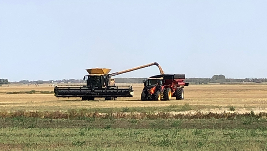
The season began with dry conditions in many areas, which continued throughout the summer, and culminated in a wet harvest. First a snowstorm hit Alberta and parts of Saskatchewan, then a second one smacked Manitoba leaving crop in the field and resulting in a tough year.
In July, Snodgrass ventured north to share his insights on weather risk in production agriculture with Canadian farmers at Ag in Motion (AIM) near Langham, Sask. Snodgrass, who studied atmospheric sciences at the University of Illinois and then went on to teach there, strives to turn weather into an agriculture story rather than just telling farmers what’s happening.
To Snodgrass, a perfect weather year for the breadbasket of North America consists of a winter with cold temperatures, so soil freezes to store moisture. Regular precipitation events take place in March and April. May is drier for seeding, followed by rain and heat in June and July. For harvest in August, September and October, warm weather continues, it dries out and cold air stays away. Snow and cold return in November and December for the winter.
But as we all know, a perfect year is rare, especially on the Canadian Prairies. Weather is the ultimate wildcard. We can’t control it, but farmers can optimize their time based on weather information, says Snodgrass. “Good weather information allows a farmer to better plan operations, becoming more efficient and reducing vulnerability,” he says.
Snodgrass encourages farmers to objectively consume weather information and not cherry-pick weather forecasts. Look at probabilities and understand what they really mean.
Finding reliable weather information is a challenge for farmers. We’d all love to have an app that gives us a precise 10 day forecast. But the reality is, only two to three days can be accurately forecasted in advance. Beyond that, the wisest way to provide weather information is to give a range and a probability, says Snodgrass.
“No app is going to be right on a 10-day forecast because it’s nearly impossible to forecast an exact number 10 days out. This leaves farmers upset with their apps. And remember that the weather changes so frequently that the app must continually be updated. So, it’s challenging to get an app that allows you to assess the weather risk for your operation,” he says.
That’s where Snodgrass comes in. “I’m here to interpret the weather so you have a better picture of what to expect. The combination of a computer-generated weather forecast, and human interpretation provides a more accurate weather forecast,” he says.
And this is what you’ll get with the Nutrien Ag Solutions digital weather forecasts, which are designed to be agronomic weather specific decision-making tools. “We’re providing highly regionalized content multiple days a week that’s Ag weather specific. So, if you tune into our weather forecasts what we’re showing you is our interpretation of what the weather forecast models are saying,” says Snodgrass.
Nutrien Ag Solutions is also exploring forecasting for yield models. With input from a farmer and knowledge of the field boundaries, we attempt to grow the crop they’re growing in the computer model, says Snodgrass. “It grows the crop with known weather conditions and then with forecasted weather conditions. The idea is to provide field level information with digital agronomy, so the farmer has that in their toolbox.”
So, what are the long-range weather models showing for winter on the Canadian Prairies?
According to Snodgrass, this winter is proving to be tricky to forecast as there isn’t a dominant signal coming out of the Pacific Ocean. “When we try to put together a long seasonal forecast, we look for things to add up in the Pacific,” he says.
Currently, long range weather models are favouring warmer conditions from British Columbia through the Rocky Mountains with a deeper trough settling in around the Hudson Bay. “Unfortunately, that means a drier and colder pattern throughout much of our winter,” he says. “There are no indications that this will be a warmer than average winter on the Prairies.”
Fortunately, a dry winter doesn’t mean drought. Going into winter, most areas have been wet, resulting in higher soil moisture levels. That soil moisture will freeze in the ground and be there for seeding next spring.
FEATURED LINKS
NEWSLETTER
Want to stay caught up in all things agriculture? Sign up for the newsletter and get all the latest news straight to your inbox.

Optimizing Your Corn Crop
Posted November 13, 2019